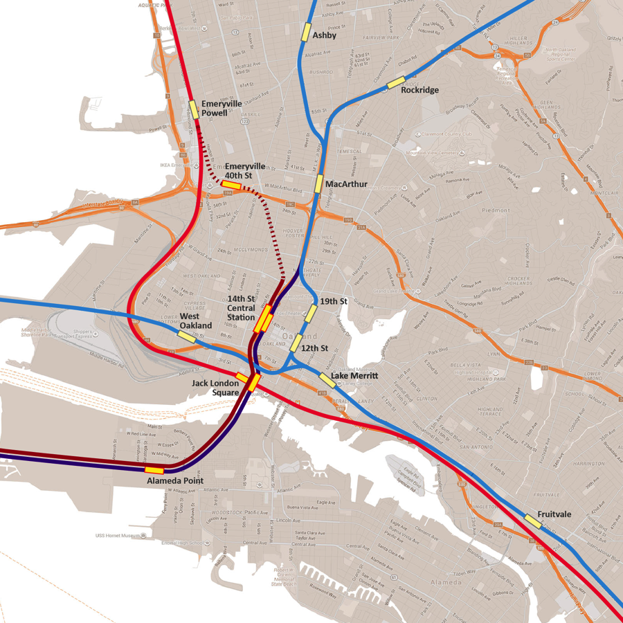
ConnectOakland Transportation Map Published February 6, 2017 at 900 × 900 in ConnectOakland: Bringing the Region Together ← Previous Map of 980 Vision and rail accessing the corridor.